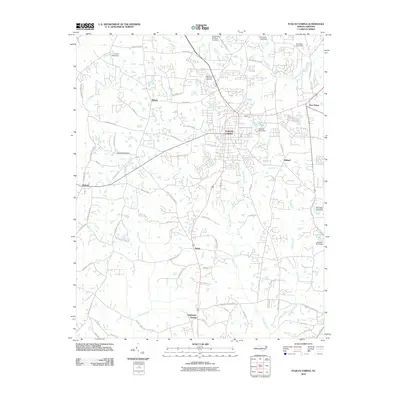
2010 Map of Fuquay-Varina
USGS Topo · Published 2010About this map
Fuquay-Varina serves as the central hub of this North Carolina landscape, where the convergence of historical crossroads and local waterways defines the settlement pattern. The town is flanked by smaller communities and hamlets such as Wilbon, Holland, and Rawls, illustrating the rural-to-suburban transition occurring at the start of the 21st century. The geography is heavily marked by a network of drainage systems, including Terrible Creek, Kenneth Creek, and Neills Creek, which are punctuated by numerous small dams and reservoirs like Johnson Pond and Parkers Pond.
Find a feature on this map
71 named features on this map. Tap any name to fly to it.
Don’t see what you’re looking for? This feature index may not catch every label — zoom into the map to look around manually.
Map Details
Editions of this 2010 Fuquay-Varina Map
This is the sole edition of this map. No revisions or reprints were ever made.
Other maps of this area

1953 · Raleigh
USGS Topo · 1:250,000

1954 · Raleigh
USGS Topo · 1:250,000

1964 · Lake Wheeler
USGS Topo · 1:24,000

1964 · Angier
USGS Topo · 1:24,000

1964 · Garner
USGS Topo · 1:62,500

1973 · Coats
USGS Topo · 1:24,000

1974 · Apex
USGS Topo · 1:24,000
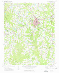
1974 · Fuquay-Varina
USGS Topo · 1:24,000
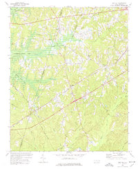
1974 · New Hill
USGS Topo · 1:24,000

1974 · Mamers
USGS Topo · 1:24,000