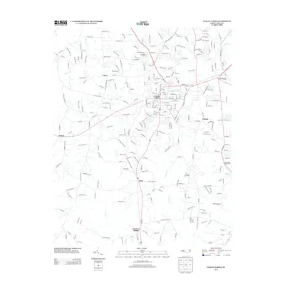
2013 Map of Fuquay-Varina
USGS Topo · Published 2013About this map
Fuquay-Varina serves as the central hub of this 2013 survey, where major regional corridors like Highway 401 and Highway 55 intersect. This suburban landscape in southern Wake County is defined by a dense network of residential developments and rural roads, transitioning into the outlying communities of Wilbon, Holland, and Rawls. The terrain is drained by several watercourses including Kenneth Cr and Neills Cr, while landmarks like the Fuquay-Angier Field Airport highlight the area's modern infrastructure.
Find a feature on this map
263 named features on this map. Tap any name to fly to it.
Don’t see what you’re looking for? This feature index may not catch every label — zoom into the map to look around manually.
Map Details
Editions of this 2013 Fuquay-Varina Map
This is the sole edition of this map. No revisions or reprints were ever made.
Other maps of this area

1953 · Raleigh
USGS Topo · 1:250,000

1954 · Raleigh
USGS Topo · 1:250,000

1964 · Lake Wheeler
USGS Topo · 1:24,000

1964 · Angier
USGS Topo · 1:24,000

1964 · Garner
USGS Topo · 1:62,500

1973 · Coats
USGS Topo · 1:24,000

1974 · Apex
USGS Topo · 1:24,000
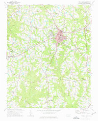
1974 · Fuquay-Varina
USGS Topo · 1:24,000
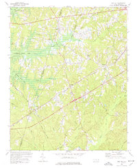
1974 · New Hill
USGS Topo · 1:24,000

1974 · Mamers
USGS Topo · 1:24,000