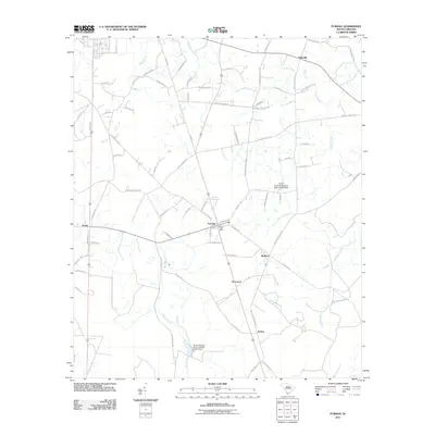
2011 Map of Furman
USGS Topo · Published 2011About this map
Furman serves as the central hub of this Hampton County landscape, where the Furman Post Office and intersections of Lena Expy and Mount Carmel Rd anchor the community. The surrounding Lowcountry terrain is defined by its watercourses, including the meandering Black Swamp to the south and the branching network of Cypress Creek to the north. Smaller settlements like Scotia, Stafford, and Nixville are linked by a grid of rural roads, many of which carry family names such as Deloach Cemetery Rd and Smith Cemetery Rd. These labels offer a glimpse into the local genealogy and land-ownership patterns of the region. The landscape is also marked by modern water management, including the South Carolina Noname 25011 D-2604 Dam, which reflects the ongoing agricultural and topographical shaping of the area.
Find a feature on this map
74 named features on this map. Tap any name to fly to it.
Don’t see what you’re looking for? This feature index may not catch every label — zoom into the map to look around manually.
Map Details
Editions of this 2011 Furman Map
This is the sole edition of this map. No revisions or reprints were ever made.
Other maps of this area

1918 · Varnville
USGS Topo · 1:62,500

1919 · Pineland
USGS Topo · 1:62,500

1919 · Shirley
USGS Topo · 1:62,500

1920 · Peeples
USGS Topo · 1:62,500

1943 · Pineland
USGS Topo · 1:62,500

1943 · Peeples
USGS Topo · 1:62,500

1943 · Shirley
USGS Topo · 1:62,500

1944 · Varnville
USGS Topo · 1:62,500

1947 · Savannah
USGS Topo · 1:250,000

1948 · Savannah
USGS Topo · 1:250,000