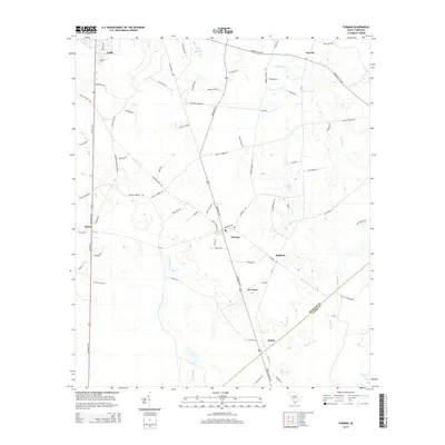
2014 Map of Furman
USGS Topo · Published 2014About this map
The town of Furman serves as a central hub in this Southern landscape, situated at the intersection of several local routes like Savannah Hwy and Causey Rd. This early 21st-century survey reveals a rural network of small communities including Stafford, De Loach, and Stokes, which are connected by a web of named country roads that often reflect local lineage or landmarks. The eastern edge is defined by the Hampton Co Jasper Co boundary, where the terrain becomes increasingly dictated by the intricate hydrology of Cypress Cr and the winding Zigzag Branch. To the west, Black Swamp marks a significant natural feature, while religious and social history is anchored by landmarks such as Lebanon Church Rd. The map illustrates a settled agricultural region where road names like Gumtree Rd and Stove Pipe Rd offer a glimpse into the vernacular geography of the South Carolina Lowcountry.
Find a feature on this map
79 named features on this map. Tap any name to fly to it.
Don’t see what you’re looking for? This feature index may not catch every label — zoom into the map to look around manually.
Map Details
Editions of this 2014 Furman Map
This is the sole edition of this map. No revisions or reprints were ever made.
Other maps of this area

1918 · Varnville
USGS Topo · 1:62,500

1919 · Pineland
USGS Topo · 1:62,500

1919 · Shirley
USGS Topo · 1:62,500

1920 · Peeples
USGS Topo · 1:62,500

1943 · Pineland
USGS Topo · 1:62,500

1943 · Peeples
USGS Topo · 1:62,500

1943 · Shirley
USGS Topo · 1:62,500

1944 · Varnville
USGS Topo · 1:62,500

1947 · Savannah
USGS Topo · 1:250,000

1948 · Savannah
USGS Topo · 1:250,000