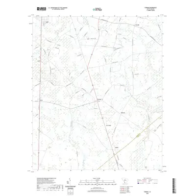
2020 Map of Furman
USGS Topo · Published 2020About this map
Furman and Estill serve as the primary hubs in this corner of the South Carolina Lowcountry, where the landscape is defined by extensive wetlands and a network of named branches and creeks. The terrain is notably flat, dominated by the Black Swamp and large water bodies such as Johnson Big Pond and Steep Bottom Pond. This 2020 record illustrates a rural economy historically tied to the land, evidenced by long stretches of roads like Two Sisters Ferry Rd and Deloach Cemetary Rd that connect dispersed settlements like Stafford and Scotia.
Find a feature on this map
70 named features on this map. Tap any name to fly to it.
Don’t see what you’re looking for? This feature index may not catch every label — zoom into the map to look around manually.
Map Details
Editions of this 2020 Furman Map
This is the sole edition of this map. No revisions or reprints were ever made.
Other maps of this area

1918 · Varnville
USGS Topo · 1:62,500

1919 · Pineland
USGS Topo · 1:62,500

1919 · Shirley
USGS Topo · 1:62,500

1920 · Peeples
USGS Topo · 1:62,500

1943 · Pineland
USGS Topo · 1:62,500

1943 · Peeples
USGS Topo · 1:62,500

1943 · Shirley
USGS Topo · 1:62,500

1944 · Varnville
USGS Topo · 1:62,500

1947 · Savannah
USGS Topo · 1:250,000

1948 · Savannah
USGS Topo · 1:250,000