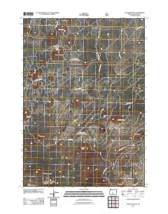
2011 Map of Fuzztail Butte
USGS Topo · Published 2011About this map
Swamp Wells Horse Camp and the nearby Swamp Wells Trailhead mark this high-elevation landscape in Deschutes County, serving as a primary access point for the volcanic terrain of the Paulina Mountains. This 2011 survey reveals a complex network of forest service roads, including Nat For Dev Rd 1820 and Nat For Dev Rd 1818, which navigate around numerous cinder cones and volcanic peaks. Notable landmarks such as Fuzztail Butte and Lava Top Butte dominate the northern portion of the map, while North Paulina Peak and Cinder Hill rise to the south. The distribution of these buttes—including Taghum Butte, Hunter Butte, and Lowullo Butte—illustrates the geologically recent volcanic activity that shaped this central Oregon region. Modern infrastructure, such as N Paulina Lake Rd, provides entry into the protected highlands of the southern quadrangle.
Find a feature on this map
25 named features on this map. Tap any name to fly to it.
Don’t see what you’re looking for? This feature index may not catch every label — zoom into the map to look around manually.
Map Details
Editions of this 2011 Fuzztail Butte Map
This is the sole edition of this map. No revisions or reprints were ever made.
Other maps of this area

1931 · Newberry Crater
USGS Topo · 1:125,000

1935 · Newberry Crater
USGS Topo · 1:125,000

1955 · Crescent
USGS Topo · 1:250,000

1957 · Crescent
USGS Topo · 1:250,000

1958 · Crescent
USGS Topo · 1:250,000
1963 · Lava Cast Forest
USGS Topo · 1:24,000
1963 · Lava Butte
USGS Topo · 1:24,000
1963 · Paulina Peak
USGS Topo · 1:24,000
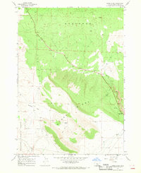
1967 · Horse Ridge
USGS Topo · 1:24,000
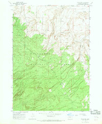
1967 · Evans Well
USGS Topo · 1:24,000