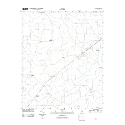
2011 Map of Fyffe
USGS Topo · Published 2011About this map
Fyffe and its surrounding agricultural crossroads anchor this DeKalb County survey, where a network of county roads connects the high plateaus and creek valleys. The landscape is defined by the winding course of Town Creek and South Sauty Creek, which once supported early local industry as evidenced by the Old Sauty Mill Bridge. Numerous small settlements such as Zion Hill, Ten Broeck, and Lakeview are interspersed with family and community landmarks like Warren Cemetery and Mount Zion Cemetery.
Find a feature on this map
117 named features on this map. Tap any name to fly to it.
Don’t see what you’re looking for? This feature index may not catch every label — zoom into the map to look around manually.
Map Details
Editions of this 2011 Fyffe Map
This is the sole edition of this map. No revisions or reprints were ever made.
Other maps of this area

1885 · Gadsden
USGS Topo · 1:125,000

1886 · Stevenson
USGS Topo · 1:125,000

1888 · Gadsden
USGS Topo · 1:125,000

1888 · Scottsboro
USGS Topo · 1:125,000

1892 · Scottsboro
USGS Topo · 1:125,000

1892 · Stevenson
USGS Topo · 1:125,000

1892 · Gadsden
USGS Topo · 1:125,000

1893 · Fort Payne
USGS Topo · 1:125,000

1895 · Stevenson
USGS Topo · 1:125,000

1895 · Gadsden
USGS Topo · 1:125,000