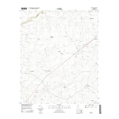
2014 Map of Fyffe
USGS Topo · Published 2014About this map
Sand Mountain dominates this portion of the Cumberland Plateau, where the town of Fyffe and the southern edge of Rainsville anchor a landscape defined by agricultural crossroads and winding creek beds. The 2014 survey reveals a dense network of county roads connecting established settlements such as Gibson Crossroads, Moores Crossroads, and Ten Broeck. This rural infrastructure reflects a history of small-scale farming and local commerce centered around the plateau's high ground.
Find a feature on this map
153 named features on this map. Tap any name to fly to it.
Don’t see what you’re looking for? This feature index may not catch every label — zoom into the map to look around manually.
Map Details
Editions of this 2014 Fyffe Map
This is the sole edition of this map. No revisions or reprints were ever made.
Other maps of this area

1885 · Gadsden
USGS Topo · 1:125,000

1886 · Stevenson
USGS Topo · 1:125,000

1888 · Gadsden
USGS Topo · 1:125,000

1888 · Scottsboro
USGS Topo · 1:125,000

1892 · Scottsboro
USGS Topo · 1:125,000

1892 · Stevenson
USGS Topo · 1:125,000

1892 · Gadsden
USGS Topo · 1:125,000

1893 · Fort Payne
USGS Topo · 1:125,000

1895 · Stevenson
USGS Topo · 1:125,000

1895 · Gadsden
USGS Topo · 1:125,000