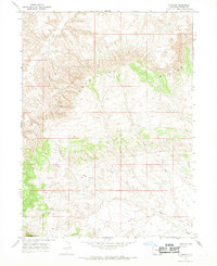
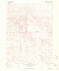
1966 Map of G Spring
USGS Topo · Published 1966About this map
Vermillion Bluffs dominates the skyline of this high-desert landscape in northwestern Colorado during the mid-1960s. The topography is defined by significant elevation changes, most notably at the natural passage of G Gap and the prominent formation known as The Bears Ears near the southern boundary. This environment highlights a reliance on intermittent water sources and natural landmarks for navigation in a region without established towns or major infrastructure.
Find a feature on this map
7 named features on this map. Tap any name to fly to it.
Don’t see what you’re looking for? This feature index may not catch every label — zoom into the map to look around manually.
Map Details
Editions of this 1966 G Spring Map
This is the sole edition of this map. No revisions or reprints were ever made.
Other maps of this area

1954 · Vernal
USGS Topo · 1:250,000

1958 · Vernal
USGS Topo · 1:250,000

1960 · Vernal
USGS Topo · 1:250,000
1960 · Lone Mountain
USGS Topo · 1:62,500
1966 · Sugarloaf Butte
USGS Topo · 1:24,000
1966 · Irish Canyon
USGS Topo · 1:24,000
1966 · Sheephead Basin
USGS Topo · 1:24,000
1966 · Hiawatha
USGS Topo · 1:24,000
1966 · Vermillion Mesa
USGS Topo · 1:24,000
1969 · Sheepherder Springs
USGS Topo · 1:24,000