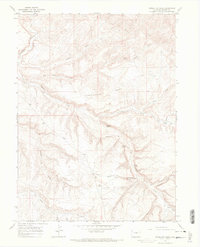
1966 Map of Vermillion Mesa
USGS Topo · Published 1970About this map
Vermillion Mesa dominates this high-altitude landscape in northwestern Colorado, characterized by a complex network of drainage draws and isolated water sources. The map highlights the localized geography of the mid-1960s, where survival and movement depended on reliably named features like Hughes Spring and Willino Spring. A distinct human element is found at the Hughes Cem, located near the transition from the mesa to Hughes Flats. This area is carved by numerous seasonal watercourses, including Teds Draw and Big Bend Draw, which eventually feed into Vermillion Creek. The presence of several family-named landmarks like Loomis Spring and Martin Draw suggests a history of ranching or early homesteading in this corner of Moffat County.
Find a feature on this map
23 named features on this map. Tap any name to fly to it.
Don’t see what you’re looking for? This feature index may not catch every label — zoom into the map to look around manually.
Map Details
Editions of this 1966 Vermillion Mesa Map
4 editions found
Other maps of this area

1954 · Vernal
USGS Topo · 1:250,000

1958 · Vernal
USGS Topo · 1:250,000

1960 · Vernal
USGS Topo · 1:250,000

1966 · G Spring
USGS Topo · 1:24,000
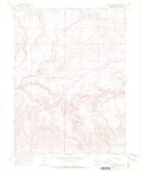
1966 · Limestone Hill
USGS Topo · 1:24,000

1966 · Big Joe Basin
USGS Topo · 1:24,000

1966 · Irish Canyon
USGS Topo · 1:24,000

1966 · Sheephead Basin
USGS Topo · 1:24,000
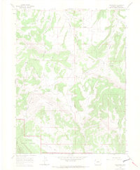
1966 · Greystone
USGS Topo · 1:24,000
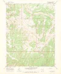
1966 · Zenobia Peak
USGS Topo · 1:24,000