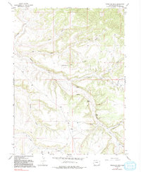
1966 Map of Vermillion Mesa
USGS Topo · Published 1992About this map
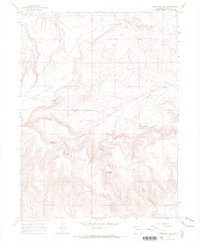
Vermillion Mesa dominates the central landscape of this Moffat County survey, where the high ground is dissected by a complex network of seasonal drainages. During the mid-1960s, this area remained largely undeveloped, characterized by isolated water sources such as Hughes Spring, Willow Spring, and Loomis Spring. The presence of Hughes Cem and nearby Hughes Flats suggests a history of early ranching or settlement families who established roots in this arid environment long before the aerial photography of 1965. Transport is limited to primitive 4wd tracks that follow the natural contours of the land, crossing named features like Big Bend Draw and Rye Grass Draw. Vermillion Creek carves through the northwest, while topographic benchmarks like BM 6249 and Dry Knob provide specific points of reference for those tracking the high-desert terrain of northwestern Colorado.
Find a feature on this map
31 named features on this map. Tap any name to fly to it.
Don’t see what you’re looking for? This feature index may not catch every label — zoom into the map to look around manually.
Map Details
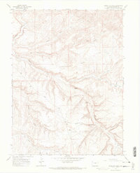
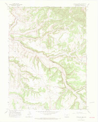
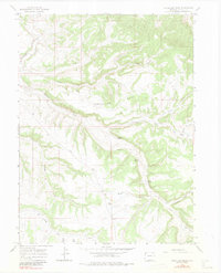
Editions of this 1966 Vermillion Mesa Map
4 editions found
Other maps of this area

1954 · Vernal
USGS Topo · 1:250,000

1958 · Vernal
USGS Topo · 1:250,000

1960 · Vernal
USGS Topo · 1:250,000

1966 · G Spring
USGS Topo · 1:24,000
1966 · Limestone Hill
USGS Topo · 1:24,000

1966 · Big Joe Basin
USGS Topo · 1:24,000

1966 · Irish Canyon
USGS Topo · 1:24,000

1966 · Sheephead Basin
USGS Topo · 1:24,000
1966 · Greystone
USGS Topo · 1:24,000
1966 · Zenobia Peak
USGS Topo · 1:24,000