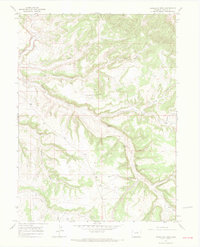
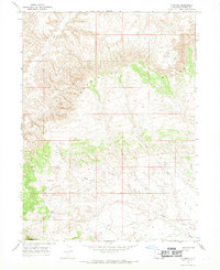
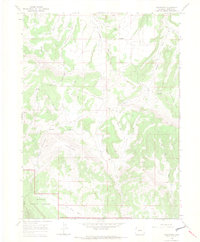
1966 Map of Vermillion Mesa
USGS Topo · Published 1970About this map
Vermillion Mesa defines the high ground of this corner of Moffat County, where a network of deeply etched drainage systems like Big Bend Draw and Douglas Draw carve into the plateau. The landscape is marked by the presence of vital water sources in a semi-arid environment, notably Hughes Spring, Willow Spring, and Loomis Spring. These landmarks, along with Hughes Flats, suggest a history of localized ranching or land use centered around these rare reliable flows.
Find a feature on this map
23 named features on this map. Tap any name to fly to it.
Don’t see what you’re looking for? This feature index may not catch every label — zoom into the map to look around manually.
Map Details
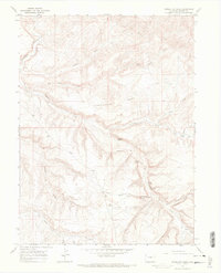
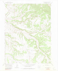
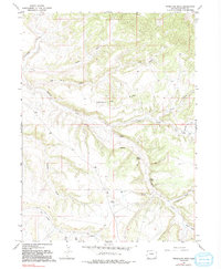
Editions of this 1966 Vermillion Mesa Map
4 editions found
Other maps of this area

1954 · Vernal
USGS Topo · 1:250,000

1958 · Vernal
USGS Topo · 1:250,000

1960 · Vernal
USGS Topo · 1:250,000
1966 · G Spring
USGS Topo · 1:24,000
1966 · Limestone Hill
USGS Topo · 1:24,000

1966 · Big Joe Basin
USGS Topo · 1:24,000
1966 · Irish Canyon
USGS Topo · 1:24,000
1966 · Sheephead Basin
USGS Topo · 1:24,000
1966 · Greystone
USGS Topo · 1:24,000
1966 · Zenobia Peak
USGS Topo · 1:24,000