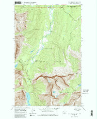
1968 Map of Gable Mountain
USGS Topo · Published 1986About this map
Glacier National Park meets the Canadian border in this 1968 field-checked survey, showcasing a landscape defined by high alpine ridges and glacial drainages. The Belly River flows northward through the heart of the quadrangle, flanked by the Belly River Ranger Sta and the Threemile Campsite. This area highlights the intersection of international travel and backcountry management at the Chief Mtn Customs along the Chief Mountain International Highway.
Find a feature on this map
41 named features on this map. Tap any name to fly to it.
Don’t see what you’re looking for? This feature index may not catch every label — zoom into the map to look around manually.
Map Details
Editions of this 1968 Gable Mountain Map
4 editions found
Other maps of this area

1904 · Chief Mountain
USGS Topo · 1:125,000

1938 · Chief Mountain
USGS Topo · 1:125,000

1960 · Cut Bank
USGS Topo · 1:250,000

1963 · Cut Bank
USGS Topo · 1:250,000

1964 · Cut Bank
USGS Topo · 1:250,000

1968 · Ahern Pass
USGS Topo · 1:24,000

1968 · Gable Mountain
USGS Topo · 1:24,000
1968 · Mount Cleveland
USGS Topo · 1:24,000
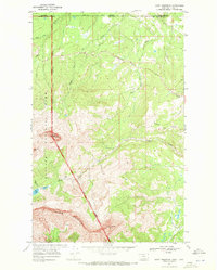
1968 · Chief Mountain
USGS Topo · 1:24,000
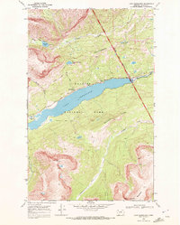
1968 · Lake Sherburne
USGS Topo · 1:24,000