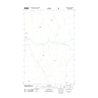
2011 Map of Gable Peaks
USGS Topo · Published 2011About this map
Schafer Meadows serves as the primary clearing in this high-altitude landscape of Flathead County, anchored by the Schafer-US Forest Service Airport. The region is defined by the convergence of steep drainages into the Middle Fork Flathead River, including Dolly Varden Creek and Calbick Creek. This 2011 survey illustrates the remote wilderness character of the area, where human infrastructure is limited to the isolated airstrip and service station.
Find a feature on this map
16 named features on this map. Tap any name to fly to it.
Don’t see what you’re looking for? This feature index may not catch every label — zoom into the map to look around manually.
Map Details
Editions of this 2011 Gable Peaks Map
This is the sole edition of this map. No revisions or reprints were ever made.
Other maps of this area

1913 · Marias Pass
USGS Topo · 1:125,000

1936 · Silvertip
USGS Topo · 1:96,000

1942 · Silvertip
USGS Topo · 1:125,000

1955 · Choteau
USGS Topo · 1:250,000

1957 · Choteau
USGS Topo · 1:250,000

1958 · Choteau
USGS Topo · 1:250,000

1958 · Red Plume Mountain
USGS Topo · 1:24,000

1958 · Gable Peaks
USGS Topo · 1:24,000

1958 · Capitol Mountain
USGS Topo · 1:24,000

1958 · Crescent Cliff
USGS Topo · 1:24,000