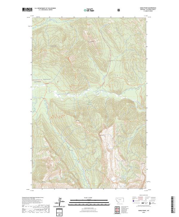
2024 Map of Gable Peaks
USGS Topo · Published 2024About this map
The Middle Fork Flathead River carves a deep valley through this portion of the Flathead National Forest, dividing the Great Bear Wilderness to the west from the Bob Marshall Wilderness to the east. This 2024 survey captures a remote landscape defined by high summits like Gable Peaks and Lodgepole Mtn, where human presence is restricted to an extensive trail network and the primitive Schafer/USFS Airport at Schafer Meadows. The area's geological character is highlighted by specialized routes such as the Chair Mtn Trilobites Trl, while the river itself is designated as the Flathead Wild and Scenic River. This map details the intersection of early 21st-century conservation boundaries and the traditional pack trails that navigate the Sawtooth Range and the headwaters of Dolly Varden Creek.
Find a feature on this map
33 named features on this map. Tap any name to fly to it.
Don’t see what you’re looking for? This feature index may not catch every label — zoom into the map to look around manually.
Map Details
Editions of this 2024 Gable Peaks Map
This is the sole edition of this map. No revisions or reprints were ever made.
Other maps of this area

1913 · Marias Pass
USGS Topo · 1:125,000

1936 · Silvertip
USGS Topo · 1:96,000

1942 · Silvertip
USGS Topo · 1:125,000

1955 · Choteau
USGS Topo · 1:250,000

1957 · Choteau
USGS Topo · 1:250,000

1958 · Choteau
USGS Topo · 1:250,000

1958 · Red Plume Mountain
USGS Topo · 1:24,000

1958 · Gable Peaks
USGS Topo · 1:24,000

1958 · Capitol Mountain
USGS Topo · 1:24,000

1958 · Crescent Cliff
USGS Topo · 1:24,000