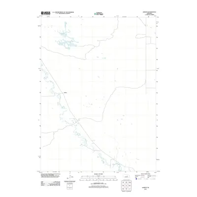
2011 Map of Gables
USGS Topo · Published 2011About this map
Cedar Creek meanders diagonally through this sparsely settled portion of Garfield County, creating a distinctive hydrological pattern across the Nebraska sandhills. The landscape is primarily defined by the creek's winding path and a network of small, scattered ponds and wetlands in the northern section. The small settlement of Gables sits along a primary roadway, serving as a localized point of reference in an otherwise open ranching or agricultural environment. This 2011 United States Geological Survey depiction highlights the relationship between the limited water sources and the rural road infrastructure, where long straight stretches of local routes intersect the natural curves of the creek basin.
Find a feature on this map
2 named features on this map. Tap any name to fly to it.
Don’t see what you’re looking for? This feature index may not catch every label — zoom into the map to look around manually.
Map Details
Editions of this 2011 Gables Map
This is the sole edition of this map. No revisions or reprints were ever made.
Other maps of this area

1954 · Gables SE
USGS Topo · 1:24,000

1954 · Gables SW
USGS Topo · 1:24,000

1954 · Gables NW
USGS Topo · 1:24,000

1954 · Bartlett NW
USGS Topo · 1:24,000

1954 · Ericson
USGS Topo · 1:24,000

1954 · Gables
USGS Topo · 1:24,000

1955 · Broken Bow
USGS Topo · 1:250,000

1955 · O'Neill
USGS Topo · 1:250,000

1956 · Broken Bow
USGS Topo · 1:250,000

1959 · O'Neill
USGS Topo · 1:250,000