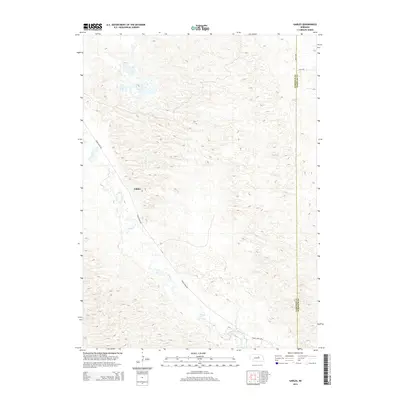
2014 Map of Gables
USGS Topo · Published 2014About this map
The settlement of Gables anchors this survey of the Nebraska Sandhills, situated along the diagonal path of Cedar River Rd. This rural landscape is defined by the winding course of Cedar Cr (also appearing as Cedar Creek), which cuts through the undulating topography typical of the region. The map reveals a sparse network of section-line roads, such as Dumas Ave and 839th Rd, which serve the isolated homesteads and ranching lands of the area. Positioned near the boundary of Garfield Co and Wheeler Co, the map documents a quiet corner of Nebraska where the natural drainage of the creek dictates the placement of local infrastructure and the limited settlement patterns of the early 21st century.
Find a feature on this map
7 named features on this map. Tap any name to fly to it.
Don’t see what you’re looking for? This feature index may not catch every label — zoom into the map to look around manually.
Map Details
Editions of this 2014 Gables Map
This is the sole edition of this map. No revisions or reprints were ever made.
Other maps of this area

1954 · Gables SE
USGS Topo · 1:24,000

1954 · Gables SW
USGS Topo · 1:24,000

1954 · Gables NW
USGS Topo · 1:24,000

1954 · Bartlett NW
USGS Topo · 1:24,000

1954 · Ericson
USGS Topo · 1:24,000

1954 · Gables
USGS Topo · 1:24,000

1955 · Broken Bow
USGS Topo · 1:250,000

1955 · O'Neill
USGS Topo · 1:250,000

1956 · Broken Bow
USGS Topo · 1:250,000

1959 · O'Neill
USGS Topo · 1:250,000