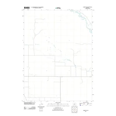
2011 Map of Gables SE
USGS Topo · Published 2011About this map
Cedar Creek meanders through the northeastern corner of this Garfield County landscape, defining the local drainage patterns alongside the seasonal paths of Dry Cedar Creek. This region of Nebraska is characterized by a sparse, grid-based road network that reflects a late 20th and early 21st-century agricultural layout, where the natural hydrology often dictates the few deviations in the landscape's geometry. The topography, mapped using 2002 National Elevation Dataset records, shows the subtle shifts in elevation that influence these creek beds in an otherwise open plains environment.
Find a feature on this map
2 named features on this map. Tap any name to fly to it.
Don’t see what you’re looking for? This feature index may not catch every label — zoom into the map to look around manually.
Map Details
Editions of this 2011 Gables SE Map
This is the sole edition of this map. No revisions or reprints were ever made.
Other maps of this area

1954 · Gables SE
USGS Topo · 1:24,000

1954 · Gables SW
USGS Topo · 1:24,000

1954 · Ord NE
USGS Topo · 1:24,000

1954 · Ord NW
USGS Topo · 1:24,000

1954 · Greeley NW
USGS Topo · 1:24,000

1954 · Gables NW
USGS Topo · 1:24,000

1954 · Bartlett NW
USGS Topo · 1:24,000

1954 · Ericson
USGS Topo · 1:24,000

1954 · Gables
USGS Topo · 1:24,000

1955 · Broken Bow
USGS Topo · 1:250,000