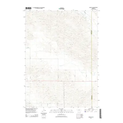
2014 Map of Gables SE
USGS Topo · Published 2014About this map
Cedar Creek and Dry Cedar Cr define the drainage patterns across this section of the Nebraska Sandhills during the early 21st century. The landscape is characterized by a dense network of high-relief dunes and depressions, typical of the Garfield and Wheeler County borderlands. Human presence is marked primarily by a rectilinear grid of section roads, including Silver Rd, 480th Ave, and 827th Rd, which navigate the complex topography. The intersection of Ne-91 and Ne-70 provides the primary transit corridor through this rural ranching country. While the terrain appears largely undeveloped, the placement of specialized routes like Joint Loop and Cedar River Rd indicates a landscape managed for agricultural access and connectivity between isolated ranch sites.
Find a feature on this map
16 named features on this map. Tap any name to fly to it.
Don’t see what you’re looking for? This feature index may not catch every label — zoom into the map to look around manually.
Map Details
Editions of this 2014 Gables SE Map
This is the sole edition of this map. No revisions or reprints were ever made.
Other maps of this area

1954 · Gables SE
USGS Topo · 1:24,000

1954 · Gables SW
USGS Topo · 1:24,000

1954 · Ord NE
USGS Topo · 1:24,000

1954 · Ord NW
USGS Topo · 1:24,000

1954 · Greeley NW
USGS Topo · 1:24,000

1954 · Gables NW
USGS Topo · 1:24,000

1954 · Bartlett NW
USGS Topo · 1:24,000

1954 · Ericson
USGS Topo · 1:24,000

1954 · Gables
USGS Topo · 1:24,000

1955 · Broken Bow
USGS Topo · 1:250,000