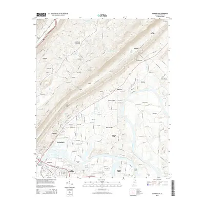
2014 Map of Gadsden East
USGS Topo · Published 2014About this map
The Coosa River anchors this study of Etowah County, winding past several distinctive bends and islands such as Caddell Island and Tillisons Bend. This 2014 survey documents the dense infrastructure of Gadsden and East Gadsden, including the Meighan Bridge and the industrial character near Goodyear Lake. The landscape transitions from the urban center to established smaller communities like Hokes Bluff and Turkeytown, reflecting a deep settlement history along the river valley.
Find a feature on this map
193 named features on this map. Tap any name to fly to it.
Don’t see what you’re looking for? This feature index may not catch every label — zoom into the map to look around manually.
Map Details
Editions of this 2014 Gadsden East Map
This is the sole edition of this map. No revisions or reprints were ever made.
Other maps of this area

1885 · Gadsden
USGS Topo · 1:125,000

1888 · Gadsden
USGS Topo · 1:125,000

1889 · Springville
USGS Topo · 1:125,000

1892 · Springville
USGS Topo · 1:125,000

1892 · Gadsden
USGS Topo · 1:125,000

1893 · Fort Payne
USGS Topo · 1:125,000

1895 · Gadsden
USGS Topo · 1:125,000

1898 · Fort Payne
USGS Topo · 1:125,000

1900 · Fort Payne
USGS Topo · 1:125,000

1900 · Anniston
USGS Topo · 1:125,000