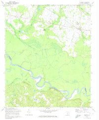
1972 Map of Gadsden
USGS Topo · Published 1974About this map
The Congaree River serves as the primary geographic border between Richland and Calhoun counties, meandering through a dense network of swamps and oxbow lakes. This 1972 survey captures the rural character of the region, where the Southern railroad line connects small communities like Weston and Gadsden. The landscape is dotted with local landmarks, including several country churches such as Madison Ch and Zion Pilgrim Ch, reflecting the area's established social foundations.
Find a feature on this map
43 named features on this map. Tap any name to fly to it.
Don’t see what you’re looking for? This feature index may not catch every label — zoom into the map to look around manually.
Map Details
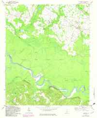
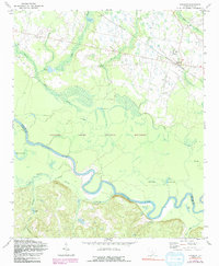
Editions of this 1972 Gadsden Map
3 editions found
Other maps of this area

1943 · Eastover
USGS Topo · 1:62,500

1946 · Elloree
USGS Topo · 1:62,500

1946 · St. Matthews
USGS Topo · 1:62,500

1948 · Hopkins
USGS Topo · 1:62,500

1953 · Saylors Lake
USGS Topo · 1:24,000

1953 · Fort Jackson South
USGS Topo · 1:24,000

1953 · Eastover
USGS Topo · 1:24,000
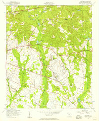
1953 · Congaree
USGS Topo · 1:24,000

1953 · Gadsden
USGS Topo · 1:24,000

1953 · Wateree
USGS Topo · 1:24,000