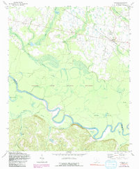
1972 Map of Gadsden
USGS Topo · Published 1991About this map
The Congaree River meanders through a dense landscape of oxbow lakes and bottomlands in this detailed 1970s study of the South Carolina lowcountry. Much of the southern portion is dominated by the Congaree Swamp National Monument, a complex hydraulic system of features like Old Dead River, Braddy Lake, and Weston Lake. The terrain transitions from these floodplains to upland settlements along the Southern railroad line, where the community of Gadsden serves as a local hub.
Find a feature on this map
38 named features on this map. Tap any name to fly to it.
Don’t see what you’re looking for? This feature index may not catch every label — zoom into the map to look around manually.
Map Details
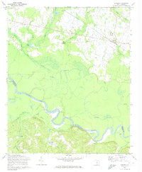
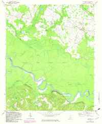
Editions of this 1972 Gadsden Map
3 editions found
Other maps of this area

1943 · Eastover
USGS Topo · 1:62,500

1946 · Elloree
USGS Topo · 1:62,500

1946 · St. Matthews
USGS Topo · 1:62,500

1948 · Hopkins
USGS Topo · 1:62,500

1953 · Saylors Lake
USGS Topo · 1:24,000

1953 · Fort Jackson South
USGS Topo · 1:24,000

1953 · Eastover
USGS Topo · 1:24,000
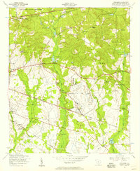
1953 · Congaree
USGS Topo · 1:24,000

1953 · Gadsden
USGS Topo · 1:24,000

1953 · Wateree
USGS Topo · 1:24,000