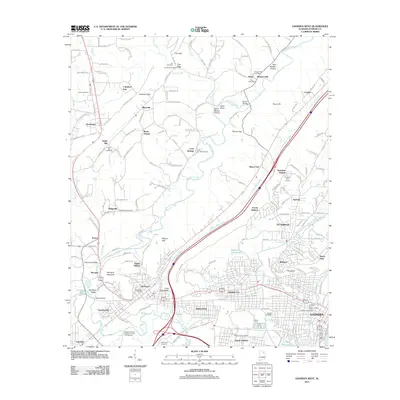
2011 Map of Gadsden West
USGS Topo · Published 2011About this map
Attalla and Alabama City serve as the primary hubs of development on this Etowah County landscape, where the ridge-and-valley topography of Little Wills Valley dictates the path of commerce and transit. The northeastern corridor is defined by the flow of Big Wills Creek and Little Wills Creek, flanking a series of gaps and hollows including Cox Gap, Copeland Gap, and Bruton Gap. These natural passes connect smaller communities like Rockledge, Cave Springs, and Avery to the larger centers of Gadsden and South Gadsden.
Find a feature on this map
183 named features on this map. Tap any name to fly to it.
Don’t see what you’re looking for? This feature index may not catch every label — zoom into the map to look around manually.
Map Details
Editions of this 2011 Gadsden West Map
This is the sole edition of this map. No revisions or reprints were ever made.
Other maps of this area

1885 · Gadsden
USGS Topo · 1:125,000

1888 · Gadsden
USGS Topo · 1:125,000

1889 · Springville
USGS Topo · 1:125,000

1892 · Springville
USGS Topo · 1:125,000

1892 · Gadsden
USGS Topo · 1:125,000

1893 · Fort Payne
USGS Topo · 1:125,000

1895 · Gadsden
USGS Topo · 1:125,000

1898 · Fort Payne
USGS Topo · 1:125,000

1900 · Fort Payne
USGS Topo · 1:125,000

1900 · Anniston
USGS Topo · 1:125,000