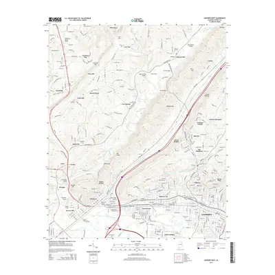
2014 Map of Gadsden West
USGS Topo · Published 2014About this map
Gadsden and its neighboring communities sit at the foot of Lookout Mountain in this modern topographic study of Etowah County. The industrial and residential landscape of Alabama City and Walnut Park gives way to the ridges of Big Ridge and the Tennessee Valley Divide, showing the complex urban-to-mountain transition of the area. Significant local landmarks include Attalla Spring and the extensive Little Wills Valley, where transport routes like Us-11 and Us-431 converge.
Find a feature on this map
73 named features on this map. Tap any name to fly to it.
Don’t see what you’re looking for? This feature index may not catch every label — zoom into the map to look around manually.
Map Details
Editions of this 2014 Gadsden West Map
This is the sole edition of this map. No revisions or reprints were ever made.
Other maps of this area

1885 · Gadsden
USGS Topo · 1:125,000

1888 · Gadsden
USGS Topo · 1:125,000

1889 · Springville
USGS Topo · 1:125,000

1892 · Springville
USGS Topo · 1:125,000

1892 · Gadsden
USGS Topo · 1:125,000

1893 · Fort Payne
USGS Topo · 1:125,000

1895 · Gadsden
USGS Topo · 1:125,000

1898 · Fort Payne
USGS Topo · 1:125,000

1900 · Fort Payne
USGS Topo · 1:125,000

1900 · Anniston
USGS Topo · 1:125,000