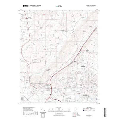
2020 Map of Gadsden West
USGS Topo · Published 2020About this map
Attalla and the industrial corridors of Alabama City define the landscape at the southern end of this survey, where the dense grid of Gadsden meets the rising terrain of Lookout Mountain. This area is a critical junction for regional infrastructure, featuring the Etowah County Judicial Building and numerous community landmarks. The valley floor is shaped by Big Wills Creek and Little Wills Creek, which carve through the ridges toward the Tennessee Valley Divide in the north. This 2020 record of the region captures the complex topography of Moragne Mtn and Shinbone Ridge, juxtaposed against established neighborhoods like Bellevue and Walnut Park. Genealogists will find several burial sites well-documented, from the Alabama City Cem to smaller family plots such as Cox Cem and Butler Cem, reflecting generations of settlement along the valley's slopes.
Find a feature on this map
302 named features on this map. Tap any name to fly to it.
Don’t see what you’re looking for? This feature index may not catch every label — zoom into the map to look around manually.
Map Details
Editions of this 2020 Gadsden West Map
This is the sole edition of this map. No revisions or reprints were ever made.
Other maps of this area

1885 · Gadsden
USGS Topo · 1:125,000

1888 · Gadsden
USGS Topo · 1:125,000

1889 · Springville
USGS Topo · 1:125,000

1892 · Springville
USGS Topo · 1:125,000

1892 · Gadsden
USGS Topo · 1:125,000

1893 · Fort Payne
USGS Topo · 1:125,000

1895 · Gadsden
USGS Topo · 1:125,000

1898 · Fort Payne
USGS Topo · 1:125,000

1900 · Fort Payne
USGS Topo · 1:125,000

1900 · Anniston
USGS Topo · 1:125,000