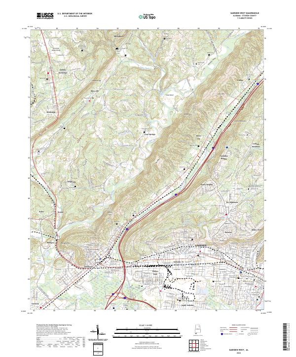
2024 Map of Gadsden West
USGS Topo · Published 2024About this map
Lookout Mountain and Shinbone Ridge define the northeast-to-southwest corridor of Etowah County, anchoring a landscape where industrial centers and rural ridge-side settlements meet. The urban sprawl of Gadsden and Attalla dominates the southern portion of the sheet, centered around the Etowah County Courthouse. A significant network of water bodies, including the meandering Big Wills Creek and Little Wills Creek, cuts through the valley floors, dictating the placement of early crossings and local roads.
Find a feature on this map
265 named features on this map. Tap any name to fly to it.
Don’t see what you’re looking for? This feature index may not catch every label — zoom into the map to look around manually.
Map Details
Editions of this 2024 Gadsden West Map
This is the sole edition of this map. No revisions or reprints were ever made.
Other maps of this area

1885 · Gadsden
USGS Topo · 1:125,000

1888 · Gadsden
USGS Topo · 1:125,000

1889 · Springville
USGS Topo · 1:125,000

1892 · Springville
USGS Topo · 1:125,000

1892 · Gadsden
USGS Topo · 1:125,000

1893 · Fort Payne
USGS Topo · 1:125,000

1895 · Gadsden
USGS Topo · 1:125,000

1898 · Fort Payne
USGS Topo · 1:125,000

1900 · Fort Payne
USGS Topo · 1:125,000

1900 · Anniston
USGS Topo · 1:125,000