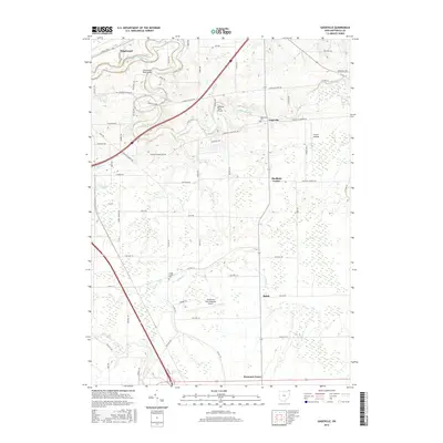
2016 Map of Gageville
USGS Topo · Published 2016About this map
The Ashtabula River winds through the northern portion of this landscape, crossed by notable local landmarks including the Olin-Dewey Road Bridge and the Benetka Road Bridge. This rural section of Ashtabula County is anchored by small crossroads settlements such as Gageville, Sheffield Center, and Denmark Center, which define the social and historical geography of the area. Genealogy researchers will find significant value in the documentation of the Gageville Cem and Griggs Corners Cem, which sit alongside the network of township and county highways.
Find a feature on this map
72 named features on this map. Tap any name to fly to it.
Don’t see what you’re looking for? This feature index may not catch every label — zoom into the map to look around manually.
Map Details
Editions of this 2016 Gageville Map
This is the sole edition of this map. No revisions or reprints were ever made.
Other maps of this area

1905 · Andover
USGS Topo · 1:48,000

1905 · Ashtabula
USGS Topo · 1:62,500

1905 · Jefferson
USGS Topo · 1:62,500

1906 · Conneaut
USGS Topo · 1:62,500

1907 · Andover
USGS Topo · 1:62,500

1907 · Jefferson
USGS Topo · 1:62,500

1950 · Cleveland
USGS Topo · 1:250,000

1956 · Cleveland
USGS Topo · 1:250,000

1959 · Dorset
USGS Topo · 1:24,000
1959 · Leon
USGS Topo · 1:24,000