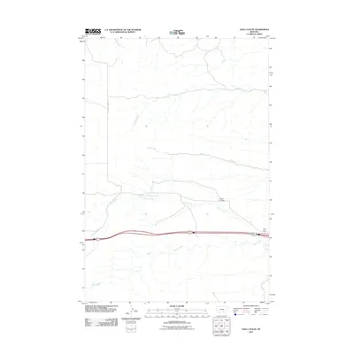
2011 Map of Gails Coulee
USGS Topo · Published 2011About this map
Tenmile Creek and Hay Creek flow eastward across this high plains landscape in Yellowstone County, defining a drainage pattern typical of the Montana steppe. The terrain is marked by the eponymous Gails Coulee, which sits north of the primary transit corridor. A major divided highway cuts through the southern portion of the sheet, providing access to the Hardin Rest Area and connecting the region via E Arrow Creek Rd. The map illustrates a sparse, working landscape where seasonal watercourses like Spring Creek and Alkali Creek shape the contours of the land between intermittent road developments.
Find a feature on this map
7 named features on this map. Tap any name to fly to it.
Don’t see what you’re looking for? This feature index may not catch every label — zoom into the map to look around manually.
Map Details
Editions of this 2011 Gails Coulee Map
This is the sole edition of this map. No revisions or reprints were ever made.
Other maps of this area

1893 · Huntley
USGS Topo · 1:125,000

1894 · Fort Custer
USGS Topo · 1:125,000

1954 · Billings
USGS Topo · 1:250,000

1954 · Hardin
USGS Topo · 1:250,000

1957 · Hardin
USGS Topo · 1:250,000

1957 · Billings
USGS Topo · 1:250,000

1958 · Billings
USGS Topo · 1:250,000

1958 · Hardin
USGS Topo · 1:250,000

1967 · Nibbe
USGS Topo · 1:24,000

1967 · Worden
USGS Topo · 1:24,000