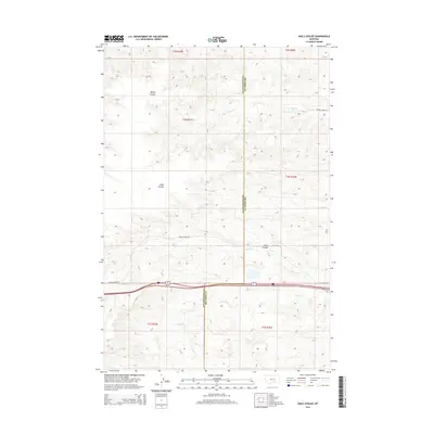
2014 Map of Gails Coulee
USGS Topo · Published 2014About this map
The divide between Big Horn and Yellowstone counties defines this Montana landscape, where the high plains are carved by a series of parallel watercourses and drainage channels. These features, including Barley Coulee and Gails Coulee, drain eastward across the ranching country of the mid-2010s. The region is marked by a clear east-west transportation corridor that follows the natural break in the terrain, with Spring Rd and Indian Creek Rd providing access to the more remote rangeland.
Find a feature on this map
16 named features on this map. Tap any name to fly to it.
Don’t see what you’re looking for? This feature index may not catch every label — zoom into the map to look around manually.
Map Details
Editions of this 2014 Gails Coulee Map
This is the sole edition of this map. No revisions or reprints were ever made.
Other maps of this area

1893 · Huntley
USGS Topo · 1:125,000

1894 · Fort Custer
USGS Topo · 1:125,000

1954 · Billings
USGS Topo · 1:250,000

1954 · Hardin
USGS Topo · 1:250,000

1957 · Hardin
USGS Topo · 1:250,000

1957 · Billings
USGS Topo · 1:250,000

1958 · Billings
USGS Topo · 1:250,000

1958 · Hardin
USGS Topo · 1:250,000

1967 · Nibbe
USGS Topo · 1:24,000

1967 · Worden
USGS Topo · 1:24,000