
1900 Map of Gaines
USGS Topo · Published 1900About this map
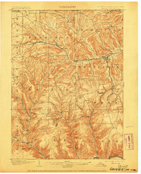
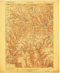
The Cowanesque River valley and the surrounding timbered ridges of the Pennsylvania-New York border are depicted in high detail at the turn of the century. The New York Central and Hudson River railroad follows the valley floor through Harrison Valley and Westfield, while the Buffalo and Susquehanna R. R. weaves through the southern townships of Hector and Gaines. Local industry is evidenced by the Tannery near Harrison Valley and the numerous named hollows and hills that define the rural character of the era.
Find a feature on this map
77 named features on this map. Tap any name to fly to it.
Don’t see what you’re looking for? This feature index may not catch every label — zoom into the map to look around manually.
Map Details
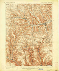
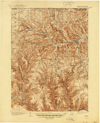
Editions of this 1900 Gaines Map
5 editions found
Other maps of this area

1899 · Gaines
USGS Topo · 1:62,500

1900 · Elkland
USGS Topo · 1:62,500

1924 · Woodhull
USGS Topo · 1:48,000

1926 · Wellsville
USGS Topo · 1:62,500

1926 · Woodhull
USGS Topo · 1:62,500

1926 · Greenwood
USGS Topo · 1:62,500

1932 · Genesee
USGS Topo · 1:62,500

1937 · Genesee
USGS Topo · 1:62,500

1944 · Woodhull
USGS Topo · 1:62,500

1946 · Tiadaghton
USGS Topo · 1:24,000