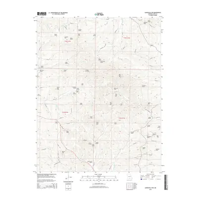
2015 Map of Gainesville NW
USGS Topo · Published 2015About this map
Gardner Lake and Herd Lake sit within a dissected landscape of Ozark County, where steep-sided hollows and prominent knobs define the physical geography. The terrain is marked by family-named landmarks such as Barker Hollow, Elliot Hollow, and Owens Hollow, alongside ridges like Sheppard Ridge. This 2015 survey reveals a network of county roads, including Co Road 121 and Co Road 108, that navigate around high points like Timber Knob and Stony Knob. Genealogists and local historians can locate several burial sites, including Loftis Cemetery, Sheppard Cemetery, and Brushy Knob Cemetery. The drainage patterns are clear, with Spring Cr and Pine Cr cutting through the hills, while names like Stillhouse Hollow and Mineral Hill provide clues to the past rural industries and occupations of the region.
Find a feature on this map
103 named features on this map. Tap any name to fly to it.
Don’t see what you’re looking for? This feature index may not catch every label — zoom into the map to look around manually.
Map Details
Editions of this 2015 Gainesville NW Map
This is the sole edition of this map. No revisions or reprints were ever made.
Other maps of this area

1934 · Gainesville
USGS Topo · 1:48,000

1936 · Thornfield
USGS Topo · 1:48,000

1936 · Ava
USGS Topo · 1:48,000

1937 · Buckhart
USGS Topo · 1:48,000

1940 · Gainesville
USGS Topo · 1:62,500

1942 · Ava
USGS Topo · 1:62,500

1943 · Thornfield
USGS Topo · 1:62,500

1943 · Buckhart
USGS Topo · 1:62,500

1945 · Ava
USGS Topo · 1:62,500

1945 · Harrison
USGS Topo · 1:250,000