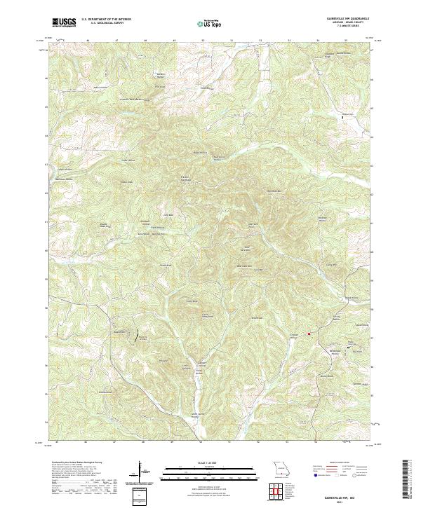
2021 Map of Gainesville NW
USGS Topo · Published 2021About this map
Timber Knob and Ludecker Bald anchor a terrain defined by steep ridges and narrow hollows in the Missouri Ozarks. The landscape is marked by a complex network of county roads that navigate between significant elevations such as Double Head Knob and Bear Cave Mtn. Waterways like Barren Fork and Ludecker Cr follow the low ground, while numerous family-named hollows, including Stillhouse Hollow and Barker Hollow, indicate a long history of rural settlement and local industry.
Find a feature on this map
91 named features on this map. Tap any name to fly to it.
Don’t see what you’re looking for? This feature index may not catch every label — zoom into the map to look around manually.
Map Details
Editions of this 2021 Gainesville NW Map
This is the sole edition of this map. No revisions or reprints were ever made.
Other maps of this area

1934 · Gainesville
USGS Topo · 1:48,000

1936 · Thornfield
USGS Topo · 1:48,000

1936 · Ava
USGS Topo · 1:48,000

1937 · Buckhart
USGS Topo · 1:48,000

1940 · Gainesville
USGS Topo · 1:62,500

1942 · Ava
USGS Topo · 1:62,500

1943 · Thornfield
USGS Topo · 1:62,500

1943 · Buckhart
USGS Topo · 1:62,500

1945 · Ava
USGS Topo · 1:62,500

1945 · Harrison
USGS Topo · 1:250,000