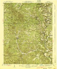
1940 Map of Gainesville
USGS Topo · Published 1940About this map
Gainesville serves as the focal point of this Ozark County landscape, situated amid a complex network of ridges and watercourses. Surveyed in the early 1930s, the map reveals a rural economy centered on the Bryant Creek and Little North Fork rivers. The sheer density of rural schools, such as Lilly Ridge Sch and Bushong Sch, along with community anchors like Smith Chapel and Evening Shade, indicates a highly distributed population prior to mid-century urbanization.
Find a feature on this map
93 named features on this map. Tap any name to fly to it.
Don’t see what you’re looking for? This feature index may not catch every label — zoom into the map to look around manually.
Map Details
Editions of this 1940 Gainesville Map
2 editions found

Other maps of this area

1890 · Mountain Home
USGS Topo · 1:125,000

1891 · Mountain Home
USGS Topo · 1:125,000

1893 · Yellville
USGS Topo · 1:125,000

1894 · Mountain Home
USGS Topo · 1:125,000

1903 · Yellville
USGS Topo · 1:125,000

1905 · Yellville
USGS Topo · 1:125,000

1929 · Yellville
USGS Topo · 1:125,000

1934 · Gainesville
USGS Topo · 1:48,000

1936 · Thornfield
USGS Topo · 1:48,000

1936 · Ava
USGS Topo · 1:48,000