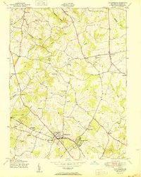
1950 Map of Gaithersburg
USGS Topo · Published 1950About this map
Gaithersburg and its surrounding rural hamlets are captured here at a mid-century pivot point, as the agricultural landscape of central Montgomery County begins to reflect early suburban transitions. The Baltimore and Ohio railroad corridor serves as the primary developmental axis, connecting established communities like Washington Grove and Metropolitan Grove. The map reveals a dense network of small, localized settlements such as Prathertown, Stewart Town, and Emory Grove, which were historically significant local hubs during the segregation era. Beyond the tracks, the terrain is defined by the drainage of Great Seneca Creek and its many tributaries, including Wildcat Branch and Cabin Branch. This 1950 edition represents the final years before the massive post-war expansion reshaped these farm-to-market roads into major suburban thoroughfares, preserving the locations of rural landmarks like the Brookgrove Sch and St Marys Home as they stood in the mid-1940s.
Find a feature on this map
37 named features on this map. Tap any name to fly to it.
Don’t see what you’re looking for? This feature index may not catch every label — zoom into the map to look around manually.
Map Details
Editions of this 1950 Gaithersburg Map
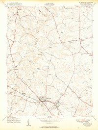
2 editions found
Other maps of this area

1893 · Frederick
USGS Topo · 1:125,000

1894 · Frederick
USGS Topo · 1:125,000

1908 · Rockville
USGS Topo · 1:62,500

1908 · Seneca
USGS Topo · 1:62,500

1908 · Ijamsville
USGS Topo · 1:62,500

1909 · Mount Airy
USGS Topo · 1:62,500

1909 · Ijamsville
USGS Topo · 1:62,500

1923 · Rockville
USGS Topo · 1:62,500

1942 · Frederick
USGS Topo · 1:62,500

1944 · Germantown
USGS Topo · 1:31,680