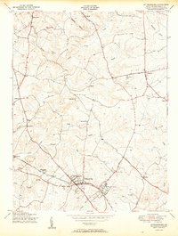
1950 Map of Gaithersburg
USGS Topo · Published 1950About this map
Gaithersburg and the neighboring community of Washington Grove serve as the primary hubs in this mid-century portrait of Montgomery County. The area’s geography is defined by the dendritic drainage of Great Seneca Creek and its many tributaries like Wildcat Branch and Goshen Branch, which carve through the terrain between small upland settlements. The Baltimore and Ohio railroad corridor facilitates movement through the southern section of the map, passing through Metropolitan Grove and Clopper. Rural life is anchored by dispersed landmarks such as the Brookgrove Sch, the St Marys Home church, and several smaller crossroad communities including Stewart Town, Prathertown, and Laytonsville. This survey captures the landscape just before the intense suburban expansion of the later 20th century, showing a pattern of small towns and family-named locales connected by winding roads and wooded stream valleys.
Find a feature on this map
35 named features on this map. Tap any name to fly to it.
Don’t see what you’re looking for? This feature index may not catch every label — zoom into the map to look around manually.
Map Details
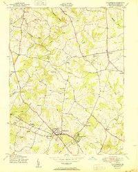
Editions of this 1950 Gaithersburg Map
2 editions found
Other maps of this area

1893 · Frederick
USGS Topo · 1:125,000

1894 · Frederick
USGS Topo · 1:125,000

1908 · Rockville
USGS Topo · 1:62,500

1908 · Seneca
USGS Topo · 1:62,500

1908 · Ijamsville
USGS Topo · 1:62,500

1909 · Mount Airy
USGS Topo · 1:62,500

1909 · Ijamsville
USGS Topo · 1:62,500

1923 · Rockville
USGS Topo · 1:62,500

1942 · Frederick
USGS Topo · 1:62,500

1944 · Germantown
USGS Topo · 1:31,680