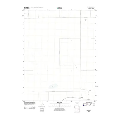
2010 Map of Galatea
USGS Topo · Published 2010About this map
Galatea occupies the southeastern corner of this High Plains landscape, situated along a network of strictly gridded thoroughfares in Cheyenne County. This 2010 survey reflects a rural environment defined by vast agricultural or open blocks, where small depressions like Red Lake and Carson Lake provide the only breaks in the geometric arrangement of the land. For those tracing local history or family ties, the Galatea Cemetery serves as a primary landmark just north of the town site.
Find a feature on this map
18 named features on this map. Tap any name to fly to it.
Don’t see what you’re looking for? This feature index may not catch every label — zoom into the map to look around manually.
Map Details
Editions of this 2010 Galatea Map
This is the sole edition of this map. No revisions or reprints were ever made.
Other maps of this area

1891 · Arroyo
USGS Topo · 1:125,000

1891 · Kit Carson
USGS Topo · 1:125,000

1891 · Las Animas
USGS Topo · 1:125,000

1892 · Lamar
USGS Topo · 1:125,000

1893 · Arroyo
USGS Topo · 1:125,000

1893 · Kit Carson
USGS Topo · 1:125,000

1893 · Las Animas
USGS Topo · 1:125,000

1954 · Lamar
USGS Topo · 1:250,000

1958 · Lamar
USGS Topo · 1:250,000

1968 · Hawkins
USGS Topo · 1:24,000