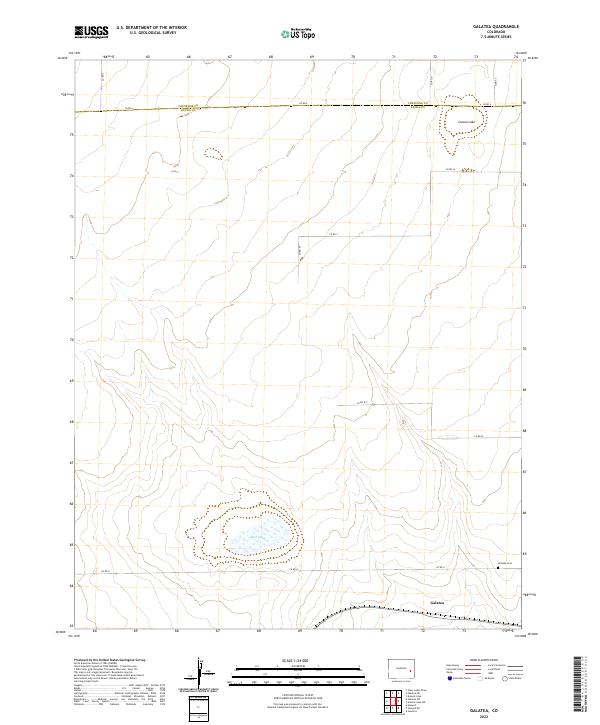
2022 Map of Galatea
USGS Topo · Published 2022About this map
Galatea occupies the southeastern corner of this high plains landscape, a small settlement situated along the southern edge of the vast sections of the T18s R50w township. The terrain is characterized by expansive, intermittent basins and depressions, most notably Red Lake and Carson Lake, which dominate the local hydrology. This 2022 survey captures the modern road network of Kiowa County, defined by a rigid grid of unpaved routes like Co Rd U and Co Rd 25 that intersect the open prairie. Just north of the town site, the Galatea Cem serves as a vital anchor for genealogists and local historians tracking family histories in this remote corner of eastern Colorado. The map also delineates the jurisdictional boundary between Cheyenne Co and Kiowa Co, illustrating how contemporary county lines continue to follow the section lines established by earlier homesteading surveys.
Find a feature on this map
21 named features on this map. Tap any name to fly to it.
Don’t see what you’re looking for? This feature index may not catch every label — zoom into the map to look around manually.
Map Details
Editions of this 2022 Galatea Map
This is the sole edition of this map. No revisions or reprints were ever made.
Other maps of this area

1891 · Arroyo
USGS Topo · 1:125,000

1891 · Kit Carson
USGS Topo · 1:125,000

1891 · Las Animas
USGS Topo · 1:125,000

1892 · Lamar
USGS Topo · 1:125,000

1893 · Arroyo
USGS Topo · 1:125,000

1893 · Kit Carson
USGS Topo · 1:125,000

1893 · Las Animas
USGS Topo · 1:125,000

1954 · Lamar
USGS Topo · 1:250,000

1958 · Lamar
USGS Topo · 1:250,000

1968 · Hawkins
USGS Topo · 1:24,000