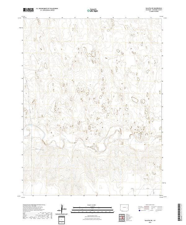
2022 Map of Galatea NE
USGS Topo · Published 2022About this map
Rush Creek meanders eastward through the heart of this Cheyenne County landscape, its winding path defining the drainage patterns of the High Plains. The terrain is structured by a grid of rural section lines, with significant north-south transport provided by Co Rd 2 and Co Rd 9. This modern survey illustrates a sparsely settled region of eastern Colorado, where the vast open spaces are punctuated only by seasonal watercourses like Rush Cr and a network of county roads including Co Rd 8 and Co Rd D. For the researcher, the map preserves the exact township and range boundaries, such as t16s r50w, that have governed land ownership and cattle ranching in this part of the state for generations.
Find a feature on this map
11 named features on this map. Tap any name to fly to it.
Don’t see what you’re looking for? This feature index may not catch every label — zoom into the map to look around manually.
Map Details
Editions of this 2022 Galatea NE Map
This is the sole edition of this map. No revisions or reprints were ever made.
Other maps of this area

1891 · Arroyo
USGS Topo · 1:125,000

1891 · Kit Carson
USGS Topo · 1:125,000

1893 · Arroyo
USGS Topo · 1:125,000

1893 · Kit Carson
USGS Topo · 1:125,000

1954 · Lamar
USGS Topo · 1:250,000

1958 · Lamar
USGS Topo · 1:250,000

1978 · Galatea NE
USGS Topo · 1:24,000

1978 · Aroya
USGS Topo · 1:24,000
1978 · Galatea SW
USGS Topo · 1:24,000

1978 · Stacy Lakes Draw
USGS Topo · 1:24,000