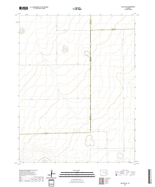
2022 Map of Galatea SW
USGS Topo · Published 2022About this map
The high plains of Eastern Colorado meet at a rare three-county junction in this 2022 survey, where Lincoln Co, Cheyenne Co, and Kiowa Co all share borders. This territory is defined by a rigorous section-line grid of rural routes, providing essential access for the agricultural operations of the Arkansas Valley region. Key thoroughfares such as Co Rd 49 and Co Rd A act as primary arteries through the townships of t16s r51w and t17s r52w. The landscape is a study in precision land management, marked by numerous small ephemeral basins and depressions that collect seasonal runoff. This modern topographic record captures the enduring geometry of the American West, tracing how local infrastructure like Co Rd G and Co Rd 21 adapts to the subtle elevations of the prairie floor.
Find a feature on this map
19 named features on this map. Tap any name to fly to it.
Don’t see what you’re looking for? This feature index may not catch every label — zoom into the map to look around manually.
Map Details
Editions of this 2022 Galatea SW Map
This is the sole edition of this map. No revisions or reprints were ever made.
Other maps of this area

1891 · Arroyo
USGS Topo · 1:125,000

1891 · Las Animas
USGS Topo · 1:125,000

1893 · Arroyo
USGS Topo · 1:125,000

1893 · Las Animas
USGS Topo · 1:125,000

1954 · Lamar
USGS Topo · 1:250,000

1958 · Lamar
USGS Topo · 1:250,000

1974 · Haswell
USGS Topo · 1:24,000

1974 · Arlington NE
USGS Topo · 1:24,000

1978 · Galatea NE
USGS Topo · 1:24,000
1978 · Haswell NE
USGS Topo · 1:24,000