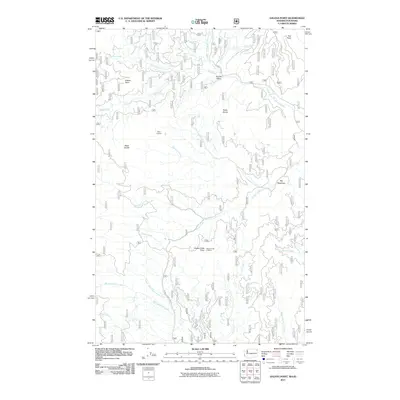
2011 Map of Galena Point
USGS Topo · Published 2011About this map
Pelke Divide forms a prominent ridge across this mountainous section of Bonner County, separating the drainages of the Upper West Branch Priest River and several significant tributaries. High-elevation vantage points such as Pelke Lookout and Goose Creek Lookout overlook a landscape defined by sharp peaks like Galena Point and Tola Point. The hydrology of the area is complex, with the North Fork Goose Creek and Consalus Creek feeding into broader valleys. Notable lowland features include Squaw Valley in the north and the expansive Big Meadows to the east. This 2011 survey records the intricate network of forest roads and trails that traverse the divide, providing access to remote waterways like Blickensderfer Creek and Butch Creek at the southwestern edge of the quadrangle.
Find a feature on this map
22 named features on this map. Tap any name to fly to it.
Don’t see what you’re looking for? This feature index may not catch every label — zoom into the map to look around manually.
Map Details
Editions of this 2011 Galena Point Map
This is the sole edition of this map. No revisions or reprints were ever made.
Other maps of this area

1901 · Sandpoint
USGS Topo · 1:125,000

1911 · Priest Lake
USGS Topo · 1:250,000

1911 · Sandpoint
USGS Topo · 1:125,000

1913 · Priest Lake
USGS Topo · 1:250,000

1934 · Metaline
USGS Topo · 1:125,000

1936 · Newport
USGS Topo · 1:96,000

1942 · Metaline
USGS Topo · 1:125,000

1942 · Newport
USGS Topo · 1:125,000

1958 · Sandpoint
USGS Topo · 1:250,000

1963 · Sandpoint
USGS Topo · 1:250,000