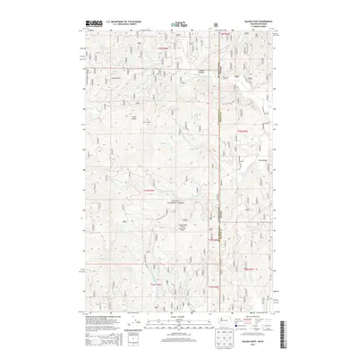
2014 Map of Galena Point
USGS Topo · Published 2014About this map
Kanisku National Forest dominates this landscape along the border of Washington and Idaho, where the high ridges of the Selkirk Mountains define the local geography. High points such as Galena Point and Pelke Lookout provided critical vantage points for forestry and fire management, connected by a network of forest development roads. The terrain is deeply incised by the Upper W Br Priest River and its numerous tributaries, including Goose Cr and Consalus Cr. These drainages converge toward the Squaw Valley and Big Meadows areas, which represent rare pockets of level ground in an otherwise steep environment. This 2014 survey documents the complex system of forest routes like Squaw Valley Rd and Boswell-Kings Lake Rd that facilitate access through the Pend Oreille Co and Bonner Co borderlands.
Find a feature on this map
41 named features on this map. Tap any name to fly to it.
Don’t see what you’re looking for? This feature index may not catch every label — zoom into the map to look around manually.
Map Details
Editions of this 2014 Galena Point Map
This is the sole edition of this map. No revisions or reprints were ever made.
Other maps of this area

1901 · Sandpoint
USGS Topo · 1:125,000

1911 · Priest Lake
USGS Topo · 1:250,000

1911 · Sandpoint
USGS Topo · 1:125,000

1913 · Priest Lake
USGS Topo · 1:250,000

1934 · Metaline
USGS Topo · 1:125,000

1936 · Newport
USGS Topo · 1:96,000

1942 · Metaline
USGS Topo · 1:125,000

1942 · Newport
USGS Topo · 1:125,000

1958 · Sandpoint
USGS Topo · 1:250,000

1963 · Sandpoint
USGS Topo · 1:250,000