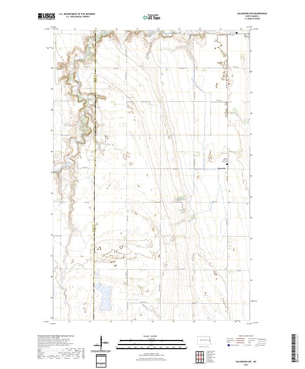
2024 Map of Galesburg NW
USGS Topo · Published 2024About this map
The Steele Co Traill Co boundary line bisects this agricultural landscape in eastern North Dakota, where the winding path of the South Branch Goose River defines the western terrain. The small community of Roseville serves as a local focal point, situated near the intersection of Co Hwy 11 and Co Hwy 16. The area's spiritual and genealogical history is anchored at the Trinity Lutheran Church Cem, located just north of the settlement. To the south, the Traill County Waterfowl Production Area preserves a significant wetland habitat amidst the geometric grid of section lines and farm roads. This modern survey illustrates how water management, such as the Roseville Drain Number 19, remains essential to the region's prairie-based economy and land use patterns.
Find a feature on this map
29 named features on this map. Tap any name to fly to it.
Don’t see what you’re looking for? This feature index may not catch every label — zoom into the map to look around manually.
Map Details
Editions of this 2024 Galesburg NW Map
This is the sole edition of this map. No revisions or reprints were ever made.
Other maps of this area

1952 · Grand Forks
USGS Topo · 1:250,000

1956 · Grand Forks
USGS Topo · 1:250,000

1966 · Grand Forks
USGS Topo · 1:250,000

1966 · Galesburg
USGS Topo · 1:24,000

1966 · Hope SE
USGS Topo · 1:24,000

1967 · Mayville South
USGS Topo · 1:24,000

1968 · Hope NE
USGS Topo · 1:24,000
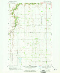
1968 · Galesburg
USGS Topo · 1:24,000
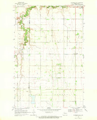
1968 · Galesburg NW
USGS Topo · 1:24,000
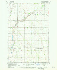
1968 · Galesburg SE
USGS Topo · 1:24,000