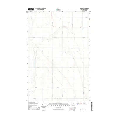
2014 Map of Galesburg SE
USGS Topo · Published 2014About this map
The Elm River winds through this section of Traill County, carving a narrow, meandering path across a landscape defined by an exacting grid of section roads. This 2014 survey reveals the persistent agricultural geometry of North Dakota, where arterial routes like CR-14 and 151st Ave SE provide the primary north-south transit through a region of largely uniform elevation. While most of the map is dominated by the repetitive crossing of corridors such as 3rd St SE and 4th St SE, the river's riparian corridor introduces the only significant natural variation, creating small pockets of uneven terrain that break the otherwise steady township and range pattern.
Find a feature on this map
17 named features on this map. Tap any name to fly to it.
Don’t see what you’re looking for? This feature index may not catch every label — zoom into the map to look around manually.
Map Details
Editions of this 2014 Galesburg SE Map
This is the sole edition of this map. No revisions or reprints were ever made.
Other maps of this area

1918 · Kelso
USGS Topo · 1:62,500

1943 · Kelso
USGS Topo · 1:62,500

1952 · Grand Forks
USGS Topo · 1:250,000

1956 · Grand Forks
USGS Topo · 1:250,000

1966 · Grand Forks
USGS Topo · 1:250,000

1966 · Galesburg
USGS Topo · 1:24,000

1967 · Mayville South
USGS Topo · 1:24,000

1967 · Ayr NE
USGS Topo · 1:24,000

1967 · Blanchard
USGS Topo · 1:24,000

1967 · Ayr NW
USGS Topo · 1:24,000