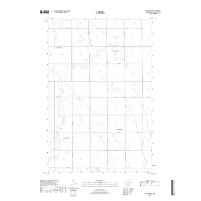
2017 Map of Galesburg SE
USGS Topo · Published 2017About this map
Elm River meanders through this portion of Traill County, carving a subtle valley across the agricultural landscape. The township boundaries of t145n r53w and t144n r52w define a region shaped by the Public Land Survey System, where a grid of section roads facilitates access to the fertile plains of North Dakota. Modern infrastructure follows historical paths, with primary routes like Co Hwy 1 and Traill Co 14 connecting the rural sections. This 2017 survey reflects the enduring character of the Red River Valley’s western edge, where the hydrology of the river remains the primary natural diversion in an otherwise geometrically ordered territory. While the map is dominated by these open spaces, the precise labeling of minor roads such as 153rd Ave SE and 11th St SE provides critical detail for identifying specific family landholdings and farmsteads.
Find a feature on this map
21 named features on this map. Tap any name to fly to it.
Don’t see what you’re looking for? This feature index may not catch every label — zoom into the map to look around manually.
Map Details
Editions of this 2017 Galesburg SE Map
This is the sole edition of this map. No revisions or reprints were ever made.
Other maps of this area

1918 · Kelso
USGS Topo · 1:62,500

1943 · Kelso
USGS Topo · 1:62,500

1952 · Grand Forks
USGS Topo · 1:250,000

1956 · Grand Forks
USGS Topo · 1:250,000

1966 · Grand Forks
USGS Topo · 1:250,000

1966 · Galesburg
USGS Topo · 1:24,000

1967 · Mayville South
USGS Topo · 1:24,000

1967 · Ayr NE
USGS Topo · 1:24,000

1967 · Blanchard
USGS Topo · 1:24,000

1967 · Ayr NW
USGS Topo · 1:24,000