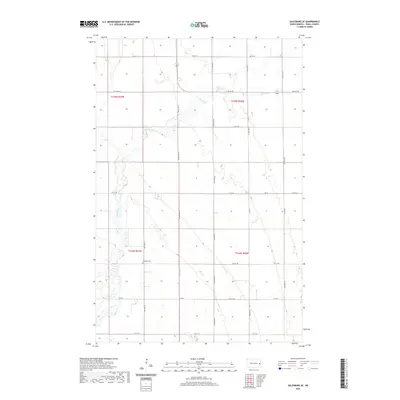
2020 Map of Galesburg SE
USGS Topo · Published 2020About this map
Elm River meanders across this rural section of Traill County, carving a winding path through the geometric grid of North Dakota farmland. The landscape is defined by the Public Land Survey System, with township lines for t145n r53w and t144n r52w anchoring the territorial organization. This 2020 map documents the persistent agricultural footprint of the Red River Valley region, where life is structured by a network of sectional roads such as 11th St SE and 150th Ave SE. A significant local landmark for genealogists and historians is the Stordahl Cem, which stands as a quiet focal point within the surrounding fields. The map also records the modern transportation corridors, including Co Hwy 1 and Traill Co 14, illustrating how the contemporary county infrastructure overlays the traditional homestead patterns of the nineteenth-century pioneers.
Find a feature on this map
22 named features on this map. Tap any name to fly to it.
Don’t see what you’re looking for? This feature index may not catch every label — zoom into the map to look around manually.
Map Details
Editions of this 2020 Galesburg SE Map
This is the sole edition of this map. No revisions or reprints were ever made.
Other maps of this area

1918 · Kelso
USGS Topo · 1:62,500

1943 · Kelso
USGS Topo · 1:62,500

1952 · Grand Forks
USGS Topo · 1:250,000

1956 · Grand Forks
USGS Topo · 1:250,000

1966 · Grand Forks
USGS Topo · 1:250,000

1966 · Galesburg
USGS Topo · 1:24,000

1967 · Mayville South
USGS Topo · 1:24,000

1967 · Ayr NE
USGS Topo · 1:24,000

1967 · Blanchard
USGS Topo · 1:24,000

1967 · Ayr NW
USGS Topo · 1:24,000