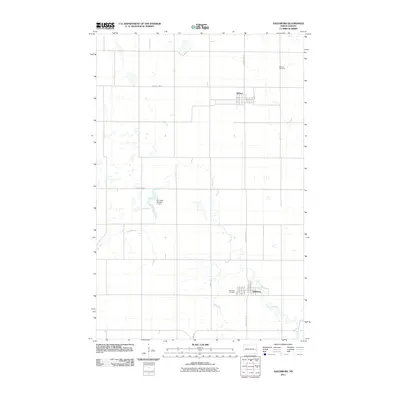
2011 Map of Galesburg
USGS Topo · Published 2011About this map
The Elm River meanders through this portion of Traill County, anchoring the small agricultural communities of Galesburg and Clifford. This 2011 survey documents a landscape defined by the rectangular grid of North Dakota section lines and rural infrastructure, including the Elm River Number 1 Dam. The layout of both settlements is clearly defined by local streets such as Latty Ave in the north and Cottonwood St to the south.
Find a feature on this map
19 named features on this map. Tap any name to fly to it.
Don’t see what you’re looking for? This feature index may not catch every label — zoom into the map to look around manually.
Map Details
Editions of this 2011 Galesburg Map
This is the sole edition of this map. No revisions or reprints were ever made.
Other maps of this area

1952 · Grand Forks
USGS Topo · 1:250,000

1956 · Grand Forks
USGS Topo · 1:250,000

1966 · Grand Forks
USGS Topo · 1:250,000

1966 · Galesburg
USGS Topo · 1:24,000

1966 · Hope SE
USGS Topo · 1:24,000

1967 · Mayville South
USGS Topo · 1:24,000

1967 · Ayr NE
USGS Topo · 1:24,000

1967 · Ayr NW
USGS Topo · 1:24,000

1967 · Page
USGS Topo · 1:24,000

1968 · Hope NE
USGS Topo · 1:24,000