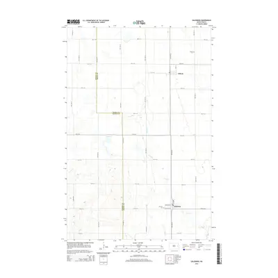
2014 Map of Galesburg
USGS Topo · Published 2014About this map
Galesburg and Clifford serve as the primary population centers in this pocket of the Red River Valley, situated along the border of Steele Co and Traill Co. The landscape is dominated by a precise grid of agricultural service roads, including 147th Ave SE and 148th Ave SE, which segment the fertile plains. Cutting a winding path through this geometric order is the Elm River, which meanders southeast toward the settlement of Galesburg. Local history and genealogy are anchored by the Clifford Cem north of its namesake town and the Elm River Cem located just west of Galesburg. The map captures the specialized street plan of Galesburg, featuring named thoroughfares like Beech St, Dakota Ave W, and Prairie Ave W that distinguish it from the surrounding rural sections.
Find a feature on this map
29 named features on this map. Tap any name to fly to it.
Don’t see what you’re looking for? This feature index may not catch every label — zoom into the map to look around manually.
Map Details
Editions of this 2014 Galesburg Map
This is the sole edition of this map. No revisions or reprints were ever made.
Other maps of this area

1952 · Grand Forks
USGS Topo · 1:250,000

1956 · Grand Forks
USGS Topo · 1:250,000

1966 · Grand Forks
USGS Topo · 1:250,000

1966 · Galesburg
USGS Topo · 1:24,000

1966 · Hope SE
USGS Topo · 1:24,000

1967 · Mayville South
USGS Topo · 1:24,000

1967 · Ayr NE
USGS Topo · 1:24,000

1967 · Ayr NW
USGS Topo · 1:24,000

1967 · Page
USGS Topo · 1:24,000

1968 · Hope NE
USGS Topo · 1:24,000