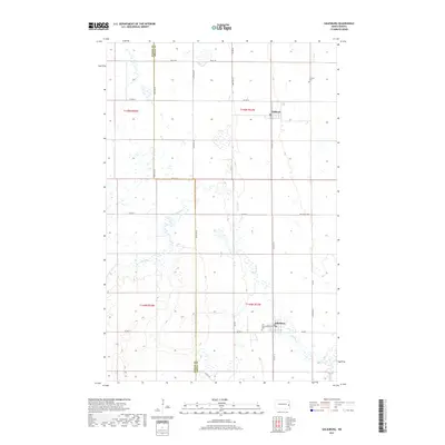
2017 Map of Galesburg
USGS Topo · Published 2017About this map
Galesburg and Clifford serve as the primary hubs of this eastern North Dakota agricultural landscape, situated along the border of Steele and Traill Counties. The terrain is defined by the winding course of the Elm River, which meanders through a grid of section lines and county highways. The map illustrates a highly organized rural infrastructure, where routes like Co Hwy 16 and Co Hwy 1 connect dispersed farmsteads and small communities. Within the town of Galesburg, Dakota Ave forms the local center near the Elm River Cem, while to the north, the smaller settlement of Clifford sits near the Clifford Cem. This survey preserves the exact placement of local cemeteries and section divisions, essential for family history research in this region of the Red River Valley hinterlands.
Find a feature on this map
25 named features on this map. Tap any name to fly to it.
Don’t see what you’re looking for? This feature index may not catch every label — zoom into the map to look around manually.
Map Details
Editions of this 2017 Galesburg Map
This is the sole edition of this map. No revisions or reprints were ever made.
Other maps of this area

1952 · Grand Forks
USGS Topo · 1:250,000

1956 · Grand Forks
USGS Topo · 1:250,000

1966 · Grand Forks
USGS Topo · 1:250,000

1966 · Galesburg
USGS Topo · 1:24,000

1966 · Hope SE
USGS Topo · 1:24,000

1967 · Mayville South
USGS Topo · 1:24,000

1967 · Ayr NE
USGS Topo · 1:24,000

1967 · Ayr NW
USGS Topo · 1:24,000

1967 · Page
USGS Topo · 1:24,000

1968 · Hope NE
USGS Topo · 1:24,000