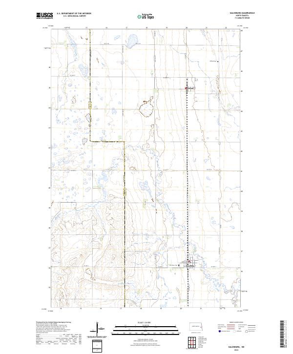
2024 Map of Galesburg
USGS Topo · Published 2024About this map
Galesburg and Clifford serve as the primary hubs of this rural Traill County landscape, where the prairie grid is frequently interrupted by the winding course of the Elm River. The map reveals a land defined by its agricultural layout and conservation efforts, most notably through several discontinuous sections of the Traill County Waterfowl Production Area. These protected wetlands dot the terrain, particularly in the northern reaches near Clifford, suggesting a modern management of the region's natural drainage and migratory habitats. Local history and genealogy are anchored by two distinct burial sites: Clifford Cem north of the village and Elm River Cem situated just west of Galesburg. The town of Galesburg remains the central focus of the southern half of the quadrangle, with its local Po and main thoroughfare, Dakota Ave, marking the commercial core for the surrounding farmsteads.
Find a feature on this map
27 named features on this map. Tap any name to fly to it.
Don’t see what you’re looking for? This feature index may not catch every label — zoom into the map to look around manually.
Map Details
Editions of this 2024 Galesburg Map
This is the sole edition of this map. No revisions or reprints were ever made.
Other maps of this area

1952 · Grand Forks
USGS Topo · 1:250,000

1956 · Grand Forks
USGS Topo · 1:250,000

1966 · Grand Forks
USGS Topo · 1:250,000

1966 · Galesburg
USGS Topo · 1:24,000

1966 · Hope SE
USGS Topo · 1:24,000

1967 · Mayville South
USGS Topo · 1:24,000

1967 · Ayr NE
USGS Topo · 1:24,000

1967 · Ayr NW
USGS Topo · 1:24,000

1967 · Page
USGS Topo · 1:24,000

1968 · Hope NE
USGS Topo · 1:24,000