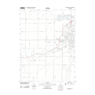
2012 Map of Galesburg West
USGS Topo · Published 2012About this map
Carl Sandburg College and Lake Storey anchor the northern landscape of this western portion of the Galesburg area. This 2012 study captures the intersection of industrial transport and municipal development, where the Galesburg Municipal Airport sits central to a grid of agricultural roads and growing suburban clusters. The map is particularly valuable for genealogists, as it documents an extensive network of local burial grounds including Linwood Cem, Saint Josephs Cem, and Miles Cem. The rural settlements of Utah and Surrey appear as quiet crossroads amidst the drainage basins of Cedar Cr and Talbot Cr. The infrastructure reflects a transition from traditional farming to modern logistics, with major corridors like Monmouth Blvd and Saint Joseph Rd cutting through the prairie landscape.
Find a feature on this map
59 named features on this map. Tap any name to fly to it.
Don’t see what you’re looking for? This feature index may not catch every label — zoom into the map to look around manually.
Map Details
Editions of this 2012 Galesburg West Map
This is the sole edition of this map. No revisions or reprints were ever made.
Other maps of this area

1921 · Monmouth
USGS Topo · 1:62,500

1923 · Monmouth
USGS Topo · 1:62,500

1923 · Alexis
USGS Topo · 1:62,500

1925 · Alexis
USGS Topo · 1:62,500

1925 · Galesburg
USGS Topo · 1:62,500

1927 · Galesburg
USGS Topo · 1:62,500

1947 · Woodhull
USGS Topo · 1:62,500

1958 · Burlington
USGS Topo · 1:250,000

1958 · Davenport
USGS Topo · 1:250,000

1961 · Burlington
USGS Topo · 1:250,000